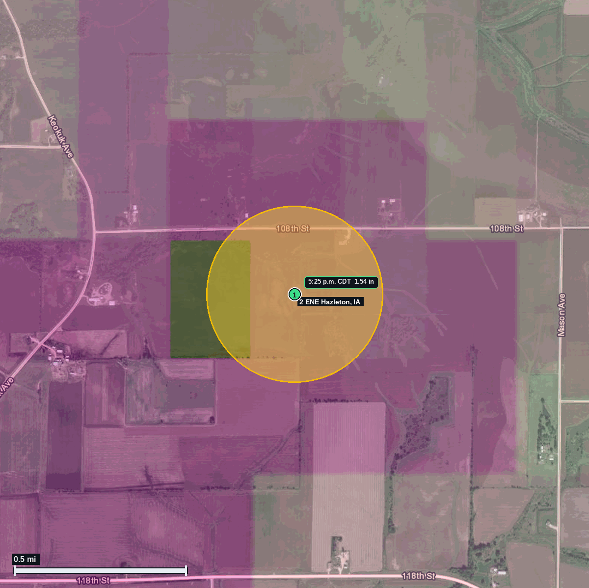
RECAP · Delayed report (NWS LSR issued 11:34 AM CDT Oct 14)
1.54 in hail measured near Hazleton
Report # HDH-IA-261013-01 · 5:25 p.m. CDT
Estimated in hail swath (ESTIMATE): about 197 people · about 2–6 homes. Rural farmland swath around the report point using Census density; not a damage certificate.
Population: 720 (Hazleton city, IA pop 720 (ACS 2024 5-year, place FIPS 1935580))
13 Oct 2026 · 1 hail report · max 1.54 in (ping pong) near 2 ENE Hazleton
Buchanan County IA · Quad Cities, IA/IL (DVN) · 5:25 p.m. CDT
- 1.54 in (ping pong), measured, 5:25 p.m. CDT · 2 ENE Hazleton · 42.63, -91.86
2 ENE Hazleton, Buchanan County IA · 1.54 in hail measured with calipers at 5:25 PM CDT Oct 13 (22:25Z), before Severe Thunderstorm Warning 291 was issued at 5:41 PM.
Most stones were about 0.7 in; the observer measured three stones at 1.15, 2.26 and 1.54 in with calipers.
An earlier caliper measurement of 1.02 in was reported at 5:23 PM.
Source: NWS Quad Cities Local Storm Report (CO-OP observer, measured with calipers; delayed report issued 11:34 AM CDT Oct 14) and SPC Storm Reports.
Town map