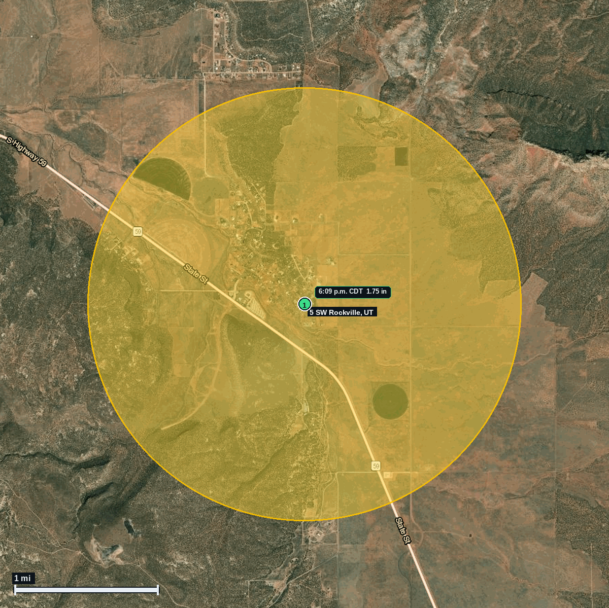
5 SW Rockville, UT: 1.75 in Hail (Washington County), Oct 21, 6:09 PM CDT
Report # HDH-UT-261021-01 · 6:09 p.m. CDT
Live report · October 21, 2026 storm (5:09 PM Utah local, Mountain time). All times Central (CDT).
Population: Apple Valley town, UT, population 1,181 (ACS 2024 5-year, place FIPS 4901905); Rockville town, UT, population 260 (ACS 2024 5-year, place FIPS 4964560)
Wednesday, October 21, 2026 · 1 hail report · max 1.75 in (size comparison: about golf ball) near 5 SW Rockville
Washington County, UT · NWS Salt Lake City (WFO SLC) · 6:09 p.m. CDT
- 1.75 in (5 SW Rockville) · 6:09 p.m. CDT · 37.10, -113.12 · Live report: 1.75 in (golf ball size), trained spotter report via social media, size estimated.
Source: NWS Salt Lake City Local Storm Report and SPC Storm Reports (IEM LSR archive).
The report fell inside NWS Salt Lake City Severe Thunderstorm Warning 145 (5:54 to 6:30 PM CDT, issued with a hail tag of 1.25 in).
One report of 1.25 in or larger to NWS Salt Lake City: 1.75 in (golf ball size) at 5 SW Rockville, from a trained spotter via social media, size estimated. Utah local time was 5:09 PM on Oct 21.
The report point is about 5 mi southwest of Rockville on the SR 59 corridor near Apple Valley, about 8 to 9 mi southwest of Springdale and the Zion National Park entrance.
Same day context (not hail): NWS Salt Lake City also logged flash flooding reports at 2 NNE Springdale (muddy water across SR 9 near the Zion entrance, 9:15 AM CDT) and 1 W Zion National Park (3:40 PM CDT).
Town map