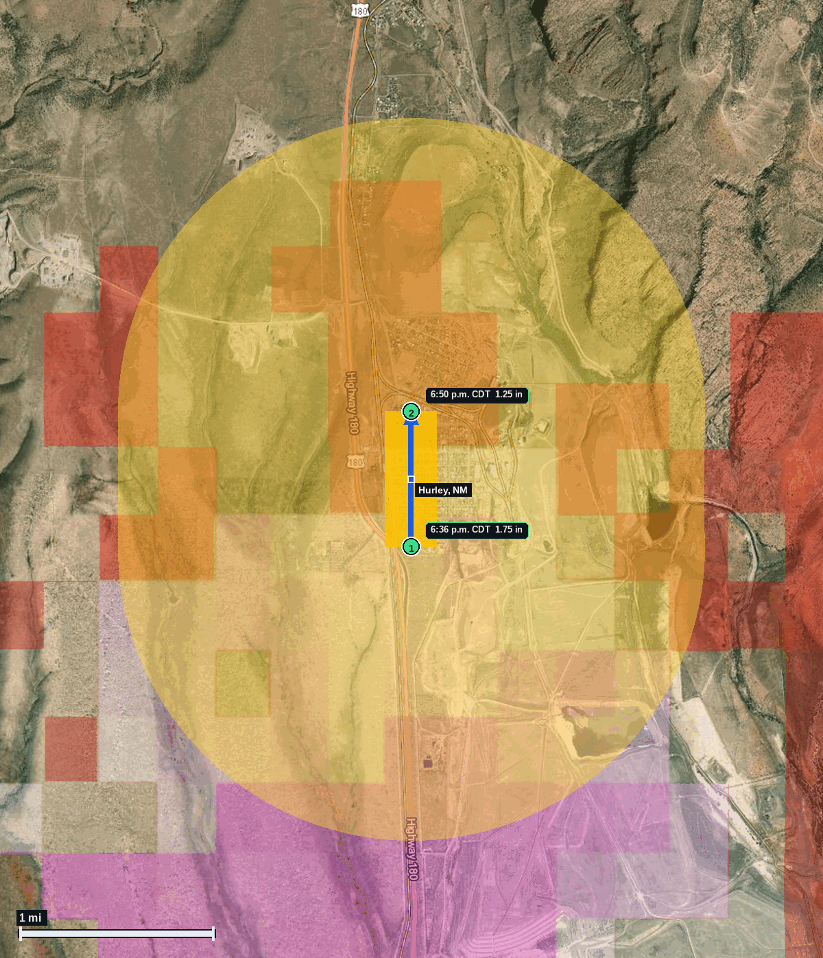
Hurley, NM: 1.75 in Hail (Grant County), Oct 22, 6:36 PM CDT
Report # HDH-NM-261022-01 · 6:36 p.m. CDT
Live report · October 22, 2026 storm (5:36 PM MDT New Mexico local). All times Central (CDT).
Population: Hurley town, NM, population 1,044 (ACS 2024 5-year, place FIPS 3533850); North Hurley CDP, NM, population 166 (ACS 2024 5-year, place FIPS 3552540)
Thursday, October 22, 2026 · 2 hail reports · max 1.75 in (size comparison: about golf ball) near Hurley
Grant County, NM · NWS El Paso/Santa Teresa (WFO EPZ) · 6:36 p.m. CDT
- 1.75 in (Hurley) · 6:36 p.m. CDT · 32.69, -108.13 · Live report: 1.75 in (golf ball size) just south of Hurley, storm chaser social media report to NWS El Paso/Santa Teresa.
- 1.25 in (Hurley) · 6:50 p.m. CDT · 32.70, -108.13 · Live report: 1.25 in (half dollar size), public photo sent to NWS El Paso/Santa Teresa.
Source: NWS El Paso/Santa Teresa Local Storm Reports (IEM LSR archive).
NWS El Paso/Santa Teresa Severe Thunderstorm Warning 168 (5:58 to 6:45 PM CDT, hail tag 1.00 in, wind 60 mph) was in effect at the 6:36 PM CDT report, and Warning 169 (6:45 to 7:15 PM CDT, hail tag 1.75 in, wind 70 mph, considerable damage tag) was in effect at the 6:50 PM CDT report.
Two reports of 1.25 in or larger to NWS El Paso/Santa Teresa: 1.75 in (golf ball size) just south of Hurley at 6:36 PM CDT from a storm chaser on social media, and 1.25 in (half dollar size) at Hurley at 6:50 PM CDT from a public photo sent to the office. New Mexico local time was 5:36 to 5:50 PM MDT on Oct 22.
The report points are within about 0.6 mi of the Hurley town center and about 4 mi south of Bayard (Census place centers).
Town map