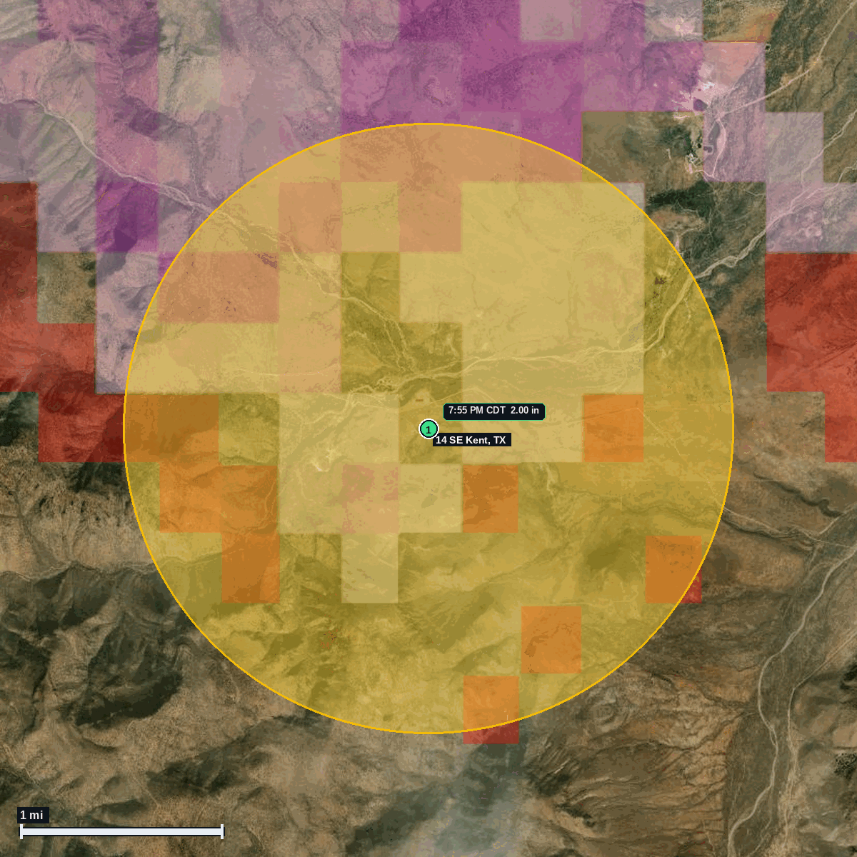
14 SE Kent, TX: 2.00 in Hail (Jeff Davis County), Oct 27, 7:55 PM CDT
Report # HDH-TX-261027-01 · 7:55 PM CDT
Live report · October 27, 2026 storm (7:55 PM CDT). All times Central (CDT).
Population: Balmorhea city, TX, population 456 (ACS 2024 5-year, place FIPS 4805468)
Tuesday, October 27, 2026 · 1 hail report · max 2.00 in (size comparison: about hen egg) near 14 SE Kent
Jeff Davis County, TX · NWS Midland/Odessa (WFO MAF) · 7:55 PM CDT
- 2.00 in (14 SE Kent) · 7:55 PM CDT · 30.93, -104.04 · Live report: 2.00 in (hen egg), public report to NWS Midland/Odessa: egg sized hail fell on their ranch property.
Source: NWS Midland/Odessa Local Storm Reports (IEM LSR archive).
NWS Midland/Odessa Severe Thunderstorm Warning 339 (7:20 to 8:00 PM CDT, hail tag 1.25 in, wind 60 mph) was in effect at the 7:55 PM CDT report, and Warning 340 (hail tag 1.50 in, wind 60 mph) was issued at 7:55 PM CDT.
NWS Midland/Odessa logged hen egg size hail (2.00 in) 14 mi southeast of Kent at 7:55 PM CDT Oct 27, from a public report of egg sized hail that fell on their ranch property.
This is a rural pin in Jeff Davis County. The nearest Census place is Balmorhea, about 18 mi east; Fort Davis is about 26 mi southeast.
Town map