
Seward, NE
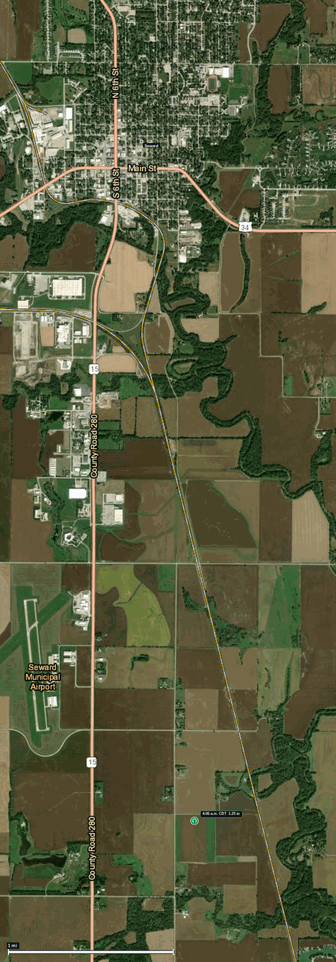
11 Jun 2026 · 1 hail report · max 1.25 in (half dollar)
Seward County NE · Omaha/Valley, NE (OAX) · 4:06 a.m. CDT
- 1.25 in (half dollar) — 4:06 a.m. CDT · 4 ESE Seward
Town map
Hotels
- Cobblestone Hotel and Suites — 1.6 mi — phone not listed
- Sunset Inn and Suites — 2.3 mi — phone not listed
- Rodeway Inn — 18.8 mi — +1 402-475-4921
Restaurants
- DQ Grill & Chill — 0.1 mi — +1 402-643-6653
- Dragon Palace — 0.2 mi — phone not listed
- Cafe on the Square — 0.2 mi — phone not listed
- La Carreta Mexican Restaurant — 2.2 mi — phone not listed
Fuel
- Phillips 66 — 0.2 mi — phone not listed
- Sinclair — 0.2 mi — +1 402-643-6214
- Casey's General Store — 1.6 mi — phone not listed
Hospital
- Memorial Health Care Systems — 0.2 mi — +1 888 644 2971
- Warren Memorial Hospital — 20.2 mi — +1 402 947 2541
Body shops
- Midwest Automotive — 1.7 mi — +1-402-643-3306
- Kallhoff Auto Repair — 16.0 mi — +1-402-202-8677
- Precision Collision Inc. — 17.7 mi — phone not listed
Insurance agencies
- Ameritas Life Insurance — 19.5 mi — phone not listed
- Titlecore National — 21.2 mi — +1-402-420-1001
- Forsyth Insurance — 24.4 mi — +1-402-483-7861
Churches
- Friedens United Church of Christ — 0.1 mi — phone not listed — Sunday: Sunday hours not listed
- Faith in Christ Fellowship — 0.1 mi — phone not listed — Sunday: Sunday hours not listed
- The Rock Lutheran Church — 0.2 mi — +1-402-643-6624 — Sunday: 10:00
Airport
- Lincoln Airport (LNK) — 18.0 mi
Car rentals
- Enterprise — 21.8 mi — +1-402-476-6800
- Avis — 22.7 mi — +1-402-475-6197
- U-Haul — 23.4 mi — phone not listed
Interstate
- US 81 — 24.2 mi
Sorry Chaisers, No Hooters Near By
Nearest Hooters: 54.5 miles
Nearest Twin Peaks: 172.6 miles (Kansas City, MO)